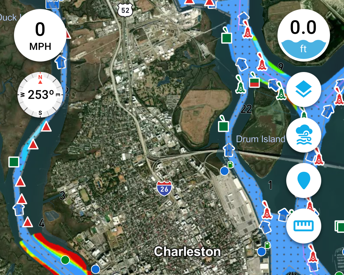
High-Definition U.S. Army Corps of Engineers Surveys
Argo Technologies is bringing a way for boaters to see and understand U.S. Army Corps of Engineers (USACE) hydrographic survey data to the Annapolis Powerboat Show.
Their Argo Navigation app now displays USACE survey data in high definition, providing a clearer, more detailed view of the surveys directly within the navigation experience.
But seeing the survey is only part of the story. Knowing when the survey was conducted is just as important.
Argo lets boaters filter survey data by age, making it easy to see which areas have newer or older survey information. Users can also long-press anywhere on a survey area to see the exact date the survey was conducted.
“There’s a tremendous amount of valuable information in these surveys, and we wanted to make it easier for boaters to see and understand,” said Jeff Foulk, Founder of Argo Technologies. “When you can see the details of the survey and know exactly when it was conducted, you have a much better sense of how current and relevant that information is.”
By the time of the show, Argo expects to have USACE survey coverage across all major inland waterways. And this isn’t a static release. Argo automatically updates its survey database as new USACE data becomes available, giving boaters an increasingly current view of the latest available surveys.
Argo is taking authoritative government hydrographic survey data and presenting it in a clear, intuitive format that integrates naturally with the rest of the Argo navigation experience.
Visitors to the Annapolis Powerboat Show will be among the first to see this new capability publicly demonstrated.
Learn more